

The GPS device. A piece of tech now so ubiquitous, many of us have forgotten what GPS stands for. Trident for example, thought it stood for Global Positioning Service. However, it’s actually Global Positioning System. Which somehow sounds kinda ominous if you ask us. (Ed’s note: I thought it was Global Positioning Satellites. The GPS is all about satellites. So why is the word Satellite not part of its name? Author’s note: Great point, but just shut up anyway please.)
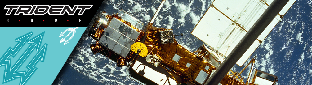
“NASA’s Upper Atmosphere Research Satellite, or UARS, is expected to re-enter Earth’s atmosphere late September” by NASA Goddard Photo and Video is licensed under CC BY 2.0.
A quick Internet search of the history of said system reveals the military applications of this wondrous technology, developed by the US decades ago. Basically, apart from tracking “subjects” (which is a lovely euphemism for “victim”), if not for rescue, most of the other military applications end up with a ahem! – subject – going Splat! and ending up as a red stain on the ground. Or a blackened ember if incendiaries are used.
So ja. Let’s rather discuss civilian use for the GPS.

“Squiggly Line Light Painting with Black Vignette and 3D” by Crystal Writer is licensed under CC BY-NC-SA 2.0.
The most obvious use would be to figure out where you are. Now, this still won’t really come in handy if you’re one of those student types, who constantly wake up in unfamiliar surroundings with a blinding headache and your underpants in an empty takeaway box. No, we’re talking about how the GPS allows you to figure out where exactly on earth you are. Like, literally. Where are you on earth. So, in the student scenario you may still be pleased to note you haven’t actually left the planet, it may not seem so judging from the alien-like simian lifeform next to you, whose octopus-like clutches you cannot escape.
GPS devices in surfing.
So, surfing and the GPS. Perhaps most controversially, astute surfers the world over are now able to figure out where previously hidden, unknown, remote surf spots are located. As far as Trident is concerned, there’s no surf spot on the planet that is invulnerable to a determined surfer trying to figure out where it is. There’s simply no way around this, so enjoy that blissful ignorance next time you paddle out somewhere you think is hidden to prying eyes. Satellites, like Sauron in his Black Tower in Mordor, see all. Indeed, picturing satellites as a great flaming cat’s eyes seems about right, considering how creepy the constant surveillance really is.
GPS is voyeuristic. No sugarcoating it. However a more positive use we surfers have for GPS is wave and manoeuvre tracking. Some see this as a gratuitous ego trip though, yet Trident believs this is a useful and enlightening way to log your surf progress and exercise. Cyclists do it. Runners do it. Swimmers do it. Birds do it. Bees do it. Even educated fleas do it. (Ed’s note: This is an old and obscure reference. Author’s note: You are old and obscure.) So why shouldn’t surfers do likewise?
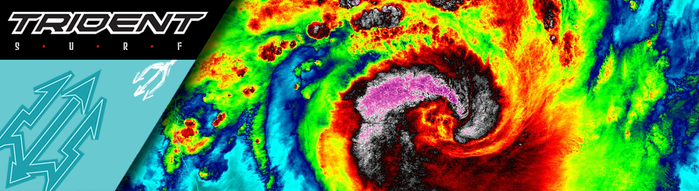
“NASA-NOAA’s Suomi NPP Satellite Captures Night-time Look at Cyclone Felleng” by NASA Goddard Photo and Video is licensed under CC BY 2.0.
From cool watches to weird gadgets you mount on your surfboard, these devices can tell you how much you paddled and how long your waves are. Unlike surf cameras. A GoPro – best case scenario; often shows you redfaced and out of breath. Worst case scenario, if you’ve mounted the camera wrong, it’ll show an out of focus clip of your crotch.
So a GPS device circumvents that, and only shows the nitty gritty of your surf session. Waves ridden, distance paddled, length of your session and which spot you surfed. Some devices are so advanced, they recognise the angles of your turns and the height of your airs. All you need to do to access this brilliant tech is to sacrifice your anonymity and surrender yourself to the online beast. To paraphrase a certain famous shoe brand, why not do it? Educated fleas do it.